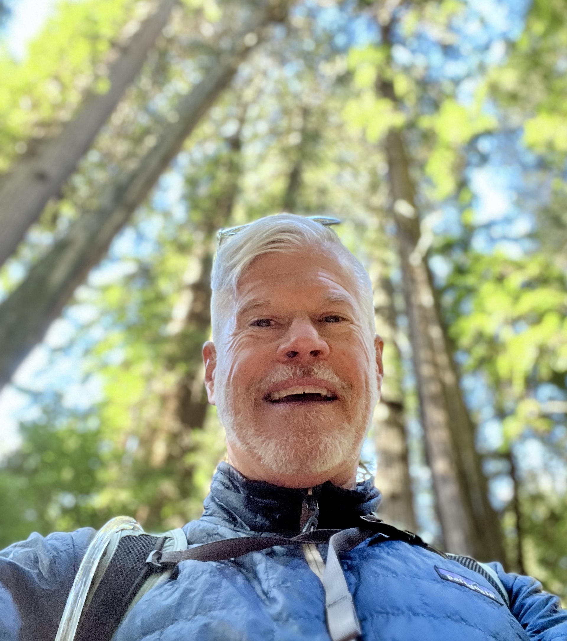
Tom Francis
I am a Data Scientist with extensive experience with geospatial and regulatory data sets. I love exploring through remote sensing. GIS gives me the tools and data to understand how the natural world and the built environment interact. Sharing what I find in clear and engaging formats is what I do best.